
Video Tutorials
MaaS Data Specification
Transport Network Colour Chart
Transport Network Maps
Sydney Intercity and City Statistics and Diagrams
Marketing Resources
Other Resources
Video Tutorials
Video tutorials for various actions around the Open Data Hub and Open Data Forum can be found on the Video Tutorials page.
Mobility as a Service (MaaS) Data Specification
To enable and build the MaaS ecosystem in NSW, TfNSW has developed a data specification for the sharing of planned and realtime information, including capacity information. It is enabled through the sharing of General Transit Feed Specification (GTFS), General Transit Feed Specification Realtime (GTFS Realtime), General Bikeshare Feed Specification (GBFS), and realtime vehicle information with TfNSW. The data specification also encouraged the sharing of historical data for analysis and future planning purposes. The data will give TfNSW an overview and understanding of the broader transport network and customers’ preference for selecting the best options for their trips.
This data sharing specification is for transport operators in the MaaS ecosystem. We encourage transport providers to use this specification when sharing data with TfNSW.
View and download the TfNSW MaaS Data Sharing Specification.
Transport Network Colour Chart
Sydney Metro
M LINE - CMYK 100/22/42/2 | RGB 22/131/136 | HEX #168388 | PMS 321
Sydney Trains
T1 LINE - CMYK 0/45/100/0 | RGB 249/157/28 | HEX #F99D1C | PMS 137C | VINYL AVERY 91589A MELON YELLOW
T2 LINE - CMYK 100/17/9/0 | RGB 0/152/205 | HEX #0098CD | PMS 801C
T3 LINE - CMYK 0/70/100/0 | RGB 243/112/33 | HEX #F37021 | PMS 158C
T4 LINE - CMYK 100/69/4/1 | RGB 0/90/163 | HEX #005AA3 | PMS 2935C | VINYL AVERY 841 SCUBA BLUE
T5 LINE - CMYK 21/97/0/0 | RGB 196/37/143 | HEX #C4258F | PMS 2395C | VINYL AVERY 978 * LIGHT PURPLE
T7 LINE - CMYK 56/37/31/13 | RGB 111/129/142 | HEX #6F818E | PMS 7544C
T8 LINE - CMYK 98/12/100/2 | RGB 0/149/76 | HEX #00954C | PMS 355C
T9 LINE - CMYK 11/100/91/3 | RGB 209/31/47 | HEX #D11F2F | PMS 186C
Intercity Trains
BLUE MOUNTAINS - CMYK 0/45/100/0 | RGB 249/157/28 | HEX #F99D1C | PMS 137C
CENTRAL COAST & NEWCASTLE - CMYK 11/100/91/3 | RGB 209/31/47 | HEX #D11F2F | PMS 186C
HUNTER - CMYK 31/87/73/33 | RGB 131/49/52 | HEX #833134 | PMS 491C
SOUTH COAST - CMYK 100/69/4/1 | RGB 0/90/163 | HEX #005AA3 | PMS 2935C
SOUTHERN HIGHLANDS - CMYK 98/12/100/2 | RGB 0/149/76 | HEX #00954C | PMS 355C
Regional Trains and Coaches Network
TRAINS - CMYK 0/56/100/0 | RGB 246/137/31 | HEX #F6891F | PMS 151C
COACHES - CMYK 98/100/0/0 | RGB 115/42/130 | HEX #732A82 | PMS 7657C
Sydney Ferries
F1 MANLY - CMYK 100/27/89/16 | RGB 0/119/75 | HEX #00774B | PMS 3415C
F2 TARONGA ZOO - CMYK 86/45/79/49 | RGB 20/71/52 | HEX #144734 | PMS 3435C
F3 PARRAMATTA RIVER - CMYK 66/26/92/9 | RGB 100/140/60 | HEX #648C3C | PMS 375C
F4 PYRMONT BAY - CMYK 30/0/100/0 | RGB 191/215/48 | HEX #BFD730
F5 NEUTRAL BAY - CMYK 83/38/82/31 | RGB 40/97/66 | HEX #286142 | PMS 7734C
F6 MOSMAN BAY - CMYK 90/0/97/0 | RGB 0/171/81 | HEX #00AB51 | PMS 7481C
F7 DOUBLE BAY - CMYK 83/0/63/0 | RGB 0/177/137 | HEX #00B189 | PMS 339C
F8 COCKATOO ISLAND - CMYK 64/42/100/31 | RGB 85/98/43 | HEX #55622B | PMS 371C
F9 WATSONS BAY - CMYK 65/0/100/0 | RGB 101/179/46 | HEX #65B32E
F10 BLACKWATTLE BAY* - CMYK 68/0/100/0 | RGB 90/176/49 | HEX #5AB031 | PMS 361C
*Note that the F10 colour spec is subject to change.
Newcastle Ferries
STKN Stockton - CMYK 68/0/100/0 | RGB 90/176/49 | HEX #5AB031 | PMS 361C
Sydney Light Rail
L1 DULWICH HILL LINE - CMYK 15/100/90/10 | RGB 190/22/34 | HEX #BE1622 | PMS 200C
L2 RANDWICK LINE - CMYK 5/100/100/2 | RGB 221/30/37 | HEX #DD1E25 | PMS 185C
L3 KINGSFORD LINE - CMYK 36/100/50/36 | RGB 120/17/64 | HEX #781140 | PMS 216C
NLR NEWCASTLE LIGHT RAIL - CMYK 0/93/79/0 | RGB 238/52/63 | HEX #EE343F | PMS 185C
Transport Network Maps
Find all the latest Network Maps on our Data Catalogue. The maps are in pdf format.
Sydney Intercity and City Statistics and Diagrams
View information on Sydney's diverse rail network of trains on the Transport Info website.
Marketing Resources
TfNSW encourages the use of transport data to produce innovative products and outcomes for our customers. To make identification of public transport easier for our mutual customers, TfNSW provides developers with official brand elements.
Guidelines
While TfNSW provides data to developers, this should not be seen as endorsement of a product. Developers should never imply or state that their product or company is endorsed or sponsored by TfNSW or any of its agencies unless they have written consent from TfNSW. When using TfNSW brand elements, please follow the below guidelines:
- Do not modify brand elements in any way, including changing colours or format
- The use of any logo should be done only to attribute the data. Do not brand your product in such a way that states or implies it is owned or sponsored by TfNSW or any of its agencies
- Ensure you understand which brand element is appropriate for your use. If you are unsure seek clarity from OpenDataProgram@transport.nsw.gov.au.
Logos
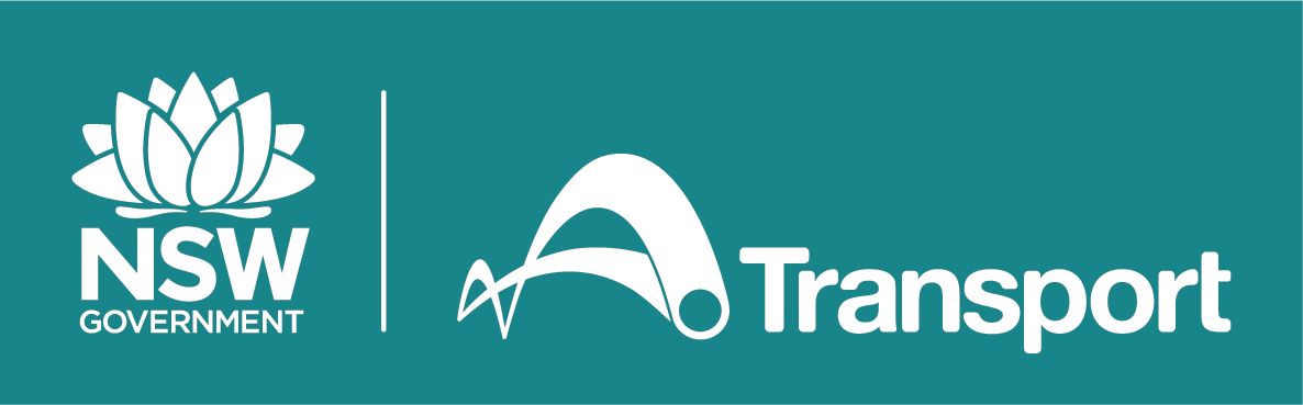
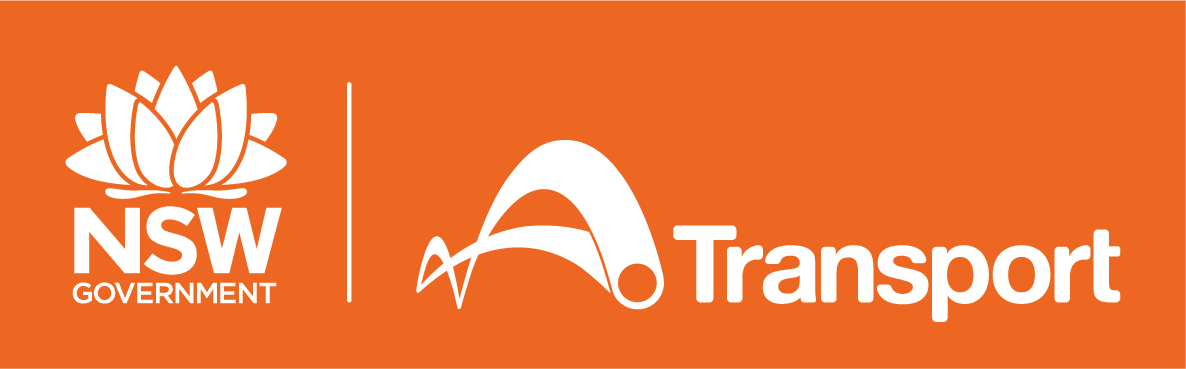
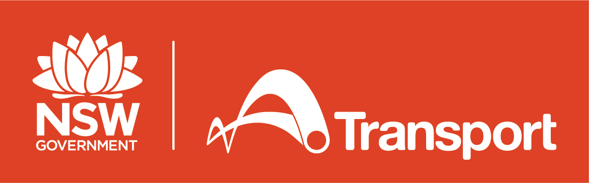
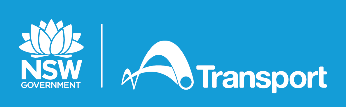
TfNSW Logo
As a consumer of transport data, and as a condition of the Creative Commons Attribution Licence, it is appropriate that you attribute data you use to TfNSW.
When using public transport data, please use the Transport logo to attribute the data to TfNSW. This is the customer-facing brand of public transport, including metro, trains, buses, ferries and light rail.
Logo reversed using modal colours
 |  |  |
 |  |  |
Mode Symbols and Pictograms
TfNSW mode symbols are used to help customers easily identify metro stations, train stations, bus stops, light rail stops and ferry wharves on the public transport network. These are copyrighted by TfNSW, but you may use them to identify TfNSW public transport stations, stops and wharves in your app or on your website.
These mode symbols are used to identify stations, stops and wharves owned and operated by TfNSW only. Do not use the mode symbols to indicate stations, stops and wharves not used by TfNSW services.
Pictograms can be used to represent public and private transport modes in NSW. They should only be used at a small and secondary scale. The included pictograms are copyrighted by TfNSW.
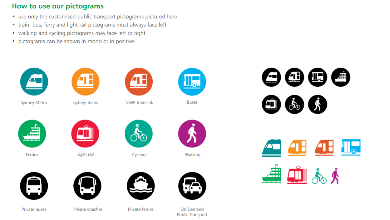
If you require official versions of any logos, mode symbols, pictograms or icons for your app, please have a look at the following dataset - Transport Mode Symbols and Pictograms
Trip Planner Widget
You may add the TfNSW Trip Planner to your website.
Colours
Below is the official colour palette for TfNSW assets. We encourage the use of these in your apps.
 Below is a guide for colour use for accessible digital content.
Maritime Icons
| Alcohol | Boating Over 65 | Cold Water | Good Judgement | LifeJackets |
| Paddling | Proper Lookout | PWC | Speed | Towing |
| Weather |
Other Resources
Guides and Policies
- Get Started Guide
- Frequently Asked Questions
- Transport for NSW Access to Information guide
- Transport for NSW Authorised Proactive Release
Find More Data
- Transport for NSW Data and Research
- City of Sydney Data Hub
- NSW Open Data Portal
- Data.gov.au
- Freight Data Hub
- Blog Post: Government Open Data in Australia
- Blog Post: Find Historical NSW Transport Information
Useful Links for Developers
- Google Transit API
- Google GTFS Overview - The General Transit Feed Specification (GTFS) can be used to share static public transit data
- Google GTFS Realtime - The GTFS-realtime Specification is an extension to GTFS that can be used to share realtime public transit data
- Google GTFS Proto File - This file specifies the hierarchy of elements and their type definitions
- TfNSW Proto File - Describes the tfnsw vehicle descriptor extension 1999 that includes aircond and wheelchair accessibility.
- Transitfeeds - The official GTFS list and GTFS data exchange for global public transport agency data
- Stackexchange - Helpful information for learning to code. Visit the open data community to ask or view questions specific to open data
- Github - Information about building and developing software